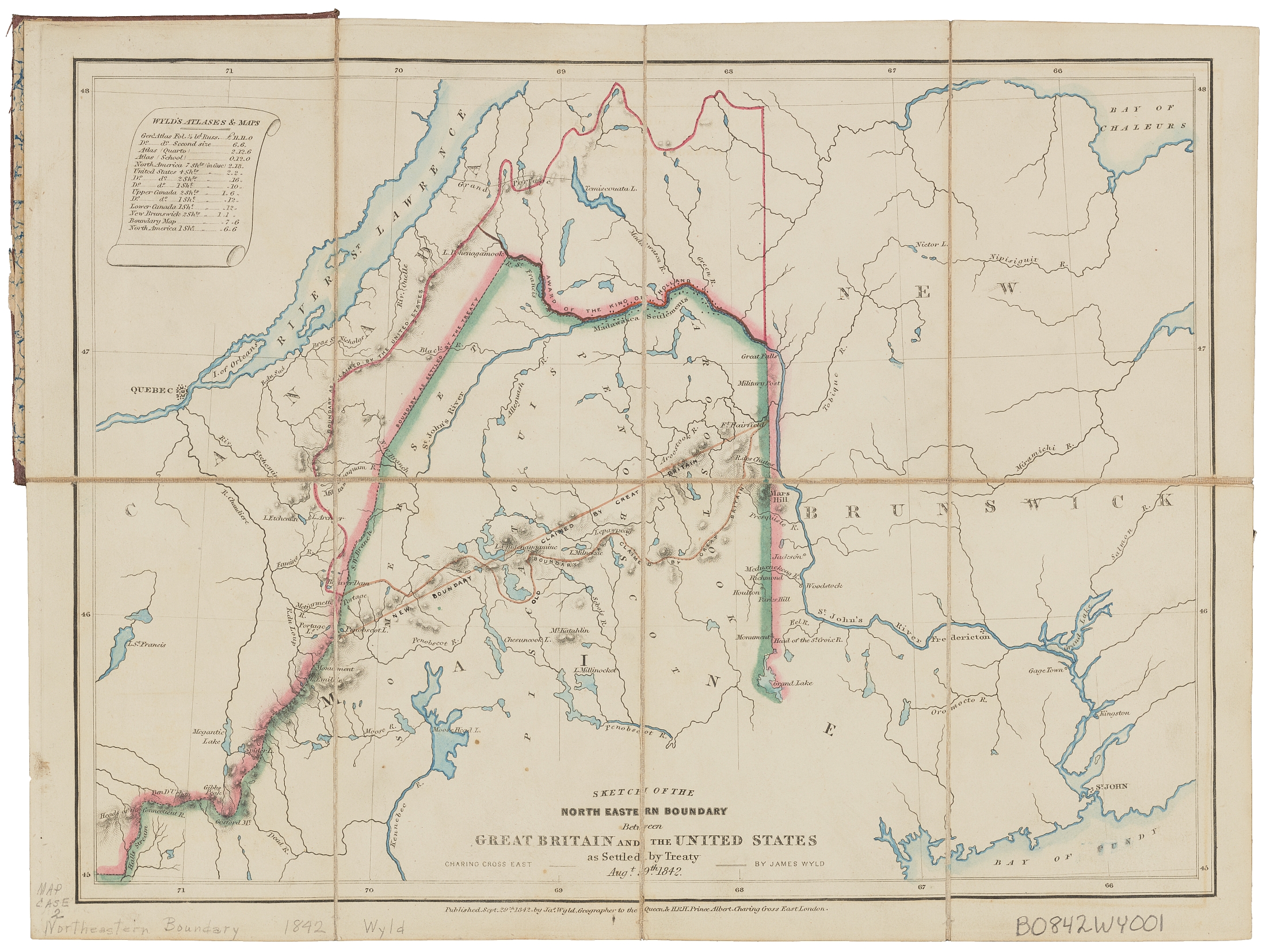
The above map was created by James Wyld in 1842 to show the boundary claims of the United States and Great Britain, as well as the final solution. The United States traded land north of the St. John River for land around the Great Lakes that was deemed more strategic.