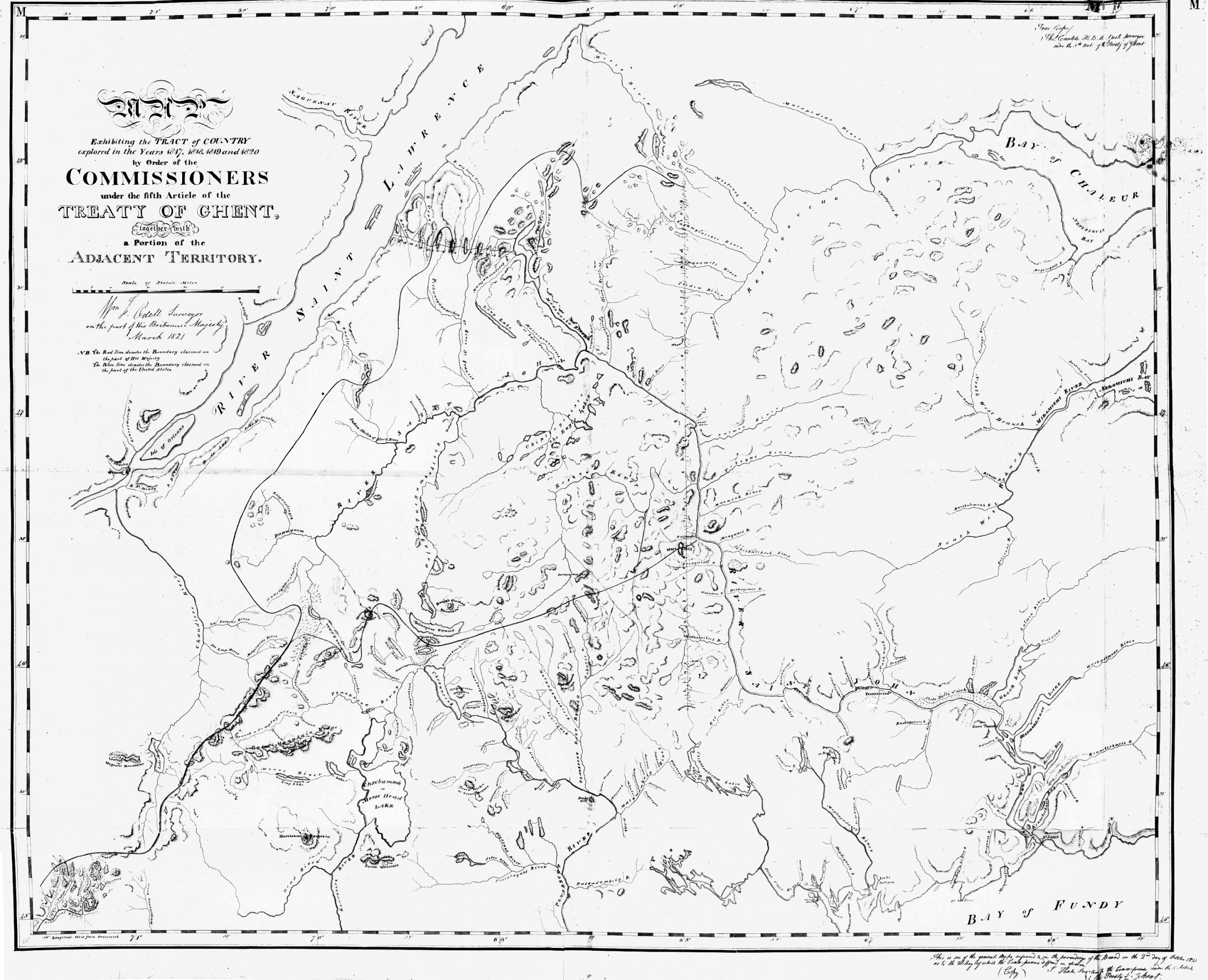
From 1817 to 1820 numerous survey teams from the United States and Great Britain traveled the disputed area. Each was gathering evidence to bolster claims to the land. Some of the maps were excellent representations of the area, while others were drawn by someone who obviously had never been to the area. Here is a composite prepared by the British
